Version 5.0
Cartographic and Navigation software assisted by GPS
15-07-2005
Version 5.0 |
Cartographic and Navigation software assisted by GPS |
15-07-2005
|
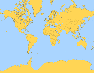
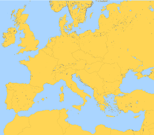
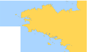
Demonstration charts for ScanNav |
The following charts only display contours of coasts at low resolution and are provided for demonstration purpose only. They should not be used for Navigation. You can download individual charts by clicking on thumbnails or chart names. Downloaded files are zip archives that should be unzipped before usage. You then just have to insert them in the ScanNav charts library to exploit them. Please refer to ScanNav's documentation, especially chapter regarding usage of chart libraries for more details. |
| Contact E-mail | Tél : 06 14 14 93 50 / 06 19 07 26 21 | ||